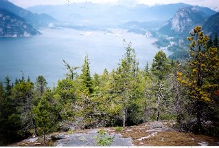
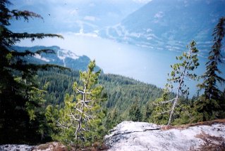
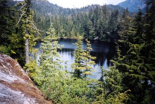
Approximately 60 KM (37 miles) from Horseshoe Bay, British Columbia. Hiking time round trip- 6 to 6.5 hrs. Round trip roughly 12KM (7.5 miles), elevation gain-640M (2093 feet). Best time is usually July to October.
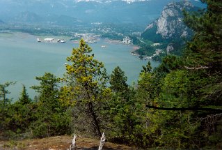
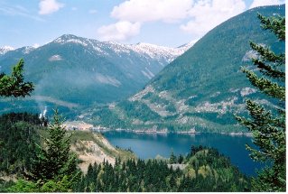
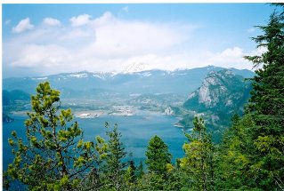
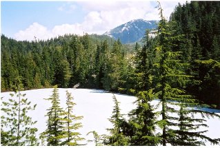
Directions: From Vancouver drive north on highway 99. Approximately 3 KM (1.9 miles) north of Britannia turn left (west) into the parking lot for Murrin Provincial Park. The sign post for the trail is found a short distance north of the parking lot on the east side of the highway. The start of the trail involves a steep climb up the bluff beside the highway. The trail heads into the forest but along the way provides several very scenic viewpoints of Howe Sound. A fork will eventually be encountered with a sign on the right fork saying Goad Ridge. Do not take the right fork, keep going straight ahead. Another fork will come up with the sign for the right fork sign saying "Lake Circuit". Continue straight ahead which will take one to a rock ledge overlooking Petgill Lake. Petgill Lake is a very scenic little lake. The photos below from 1998, 2001 and 2004 show the lake and some of the viewpoints.
Petgill Lake |

|

|

|

|

|

|

|