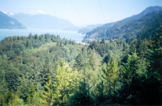
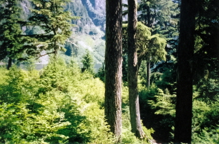
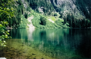
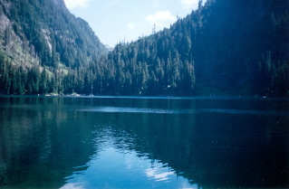
Approximately 50 KM (31 miles) from Vancouver, British Columbia. Hiking time round trip- 6 to 8 hrs. Round trip roughly 13 KM (8 miles), elevation gain-975M (3187 feet). Best time is usually July to October.
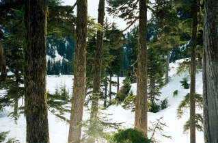
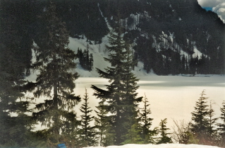
This trail is best hiked on a sunny day in the latter part of the summer after June. Otherwise snow at the higher levels could end the hike.
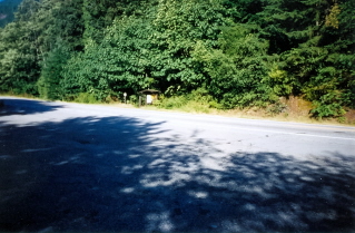
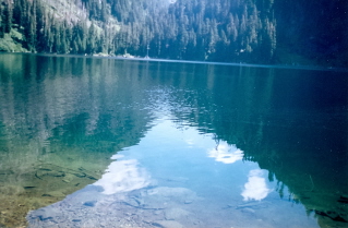
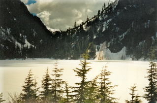
Directions: From Vancouver drive north on Highway 99 past Horseshoe Bay. The trail head is located roughly 22KM (13.7 miles) north of Horseshoe Bay. Things may have changed with the road improvements in 2009 and the following directions to the trail head may be out of date. There used to be a large sign with a map of the trails on the right side of the road one could watch for. On the left side of the road there was an area for parking. The trail starts by the sign and is well marked. The trail leads to a very scenic lake. The lake is quite clear and fish can often be seen from the shore. There is also a waterfall off to the side where the trail comes out onto the lake.
GPS Data: Right click on link to bring up menu to download (save) file.
Deeks Lake Trail 2003/07 |

|

|

|

|

|

|
Deeks Lake Trail 1999/05 |
|
|
|