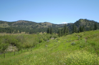
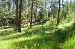
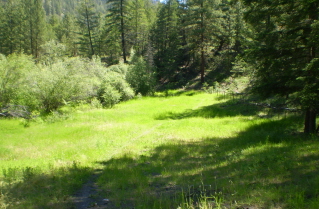
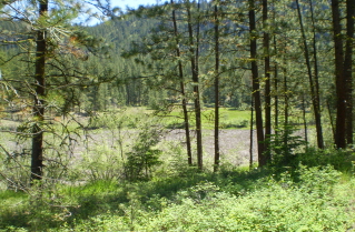
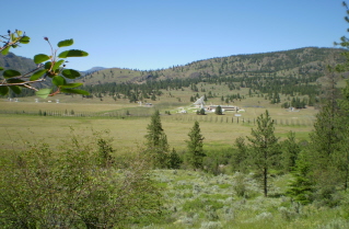
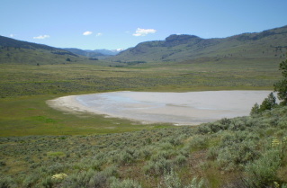
Approximately 22 KM (14 miles) from Penticton, British Columbia. Hiking time round trip- 5 to 5.5 hrs. Round trip roughly 13 KM (8 miles), elevation gain-86M (281 feet). Best time is usually May to September.
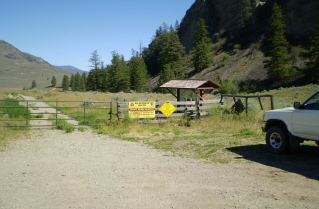
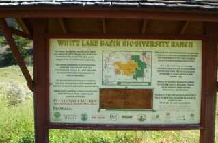
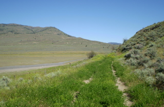
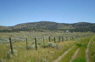
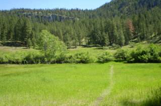
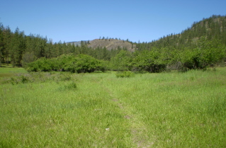
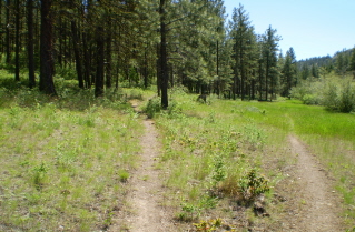
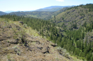
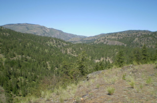
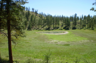
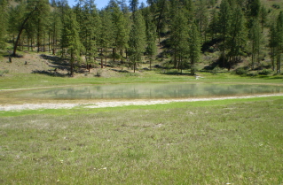
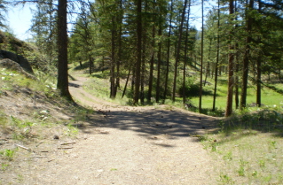
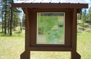
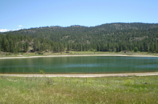
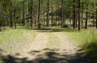
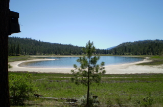
Directions: From Penticton drive south on highway 97 roughly 11.5 KM (7.1 miles) and turn right onto White Lake Road. About 7.7 KM (4.8 miles) down White Lake Road turn left onto Fairview/White Lake Road. Continue down Fairview/White Lake Road approximately 2.3 KM (1.4 miles) looking on the left for a small parking area and a large sign behind a fence. There is a narrow right angled opening in the fence allowing one to walk through. The sign has a map of the region which is protected, some warnings and shows various unmarked trails. This trail takes one from White Lake through several grassy meadows and up and down over a number of ridges ending at Mahoney Lake. There is a small altitude gain climbing up each ridge but this given up descending back into the valleys. The start of the trail provides a good view of the nearby Observatory. Mahoney Lake is a rare meromictic lake as it has only partial circulation. It is very salty and has a layer of sulphur bacteria below the surface. The lake has been studied by aquatic scientists over the years. It has been declared an ecological reserve to protect it.
GPS Data: Right click on link to bring up menu to download (save) file.
White Lake to Mahoney Lake Trail 2010/06 |

|

|

|

|

|

|

|

|

|

|

|

|

|

|

|

|

|

|

|

|

|

|