Mountain Hiking Trails South Western and Okanagan regions British Columbia, Canada
Reserved for
future use
Home Chilliwack
Hope Pemberton
Penticton Squamish
Vancouver Whistler
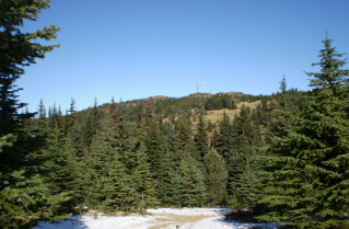
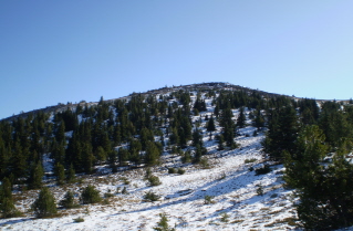
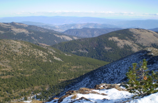
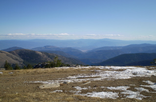
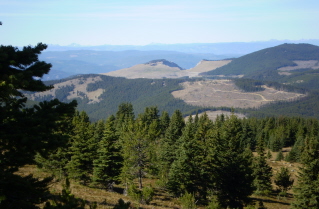
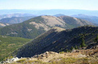
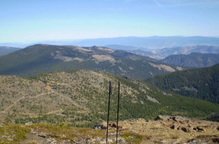
Penticton Mountain Trails- Beaconsfield Mountain
Beaconsfield Mountain: Elevation 2239 meters (7322 feet)
Approximately 35.5 KM (22 miles) from Penticton, British Columbia. Hiking time round trip- 1.5 to 2.5 hrs.
Elevation gain-172M (562 feet). Best time is usually July to September.
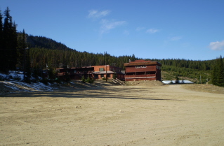
Directions: From Penticton drive west on Green Mountain Road. Turn right onto Apex Mountain Road. Drive past the Apex
Mountain village, continue uphill and then turn left onto a street that continues uphill. This street leads to a large
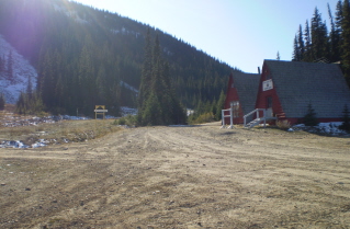
open area by the Apex Mountain patrol cabins. There is a gravel road by the Patrol Cabin that continues on. Drive
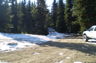
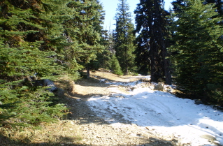
on this road for about 1.3KM (0.8 mile) to where a rough gravel road intersects from the left. This road has a sign posted
warning of trail bikes, etc. Depending on how rough this road is and the vehicle one may want to park here and walk in. This
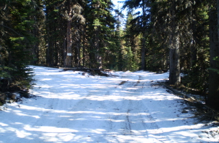
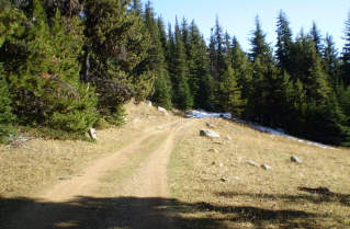
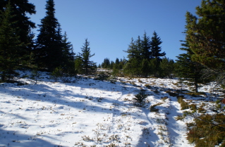
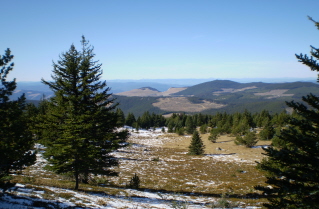
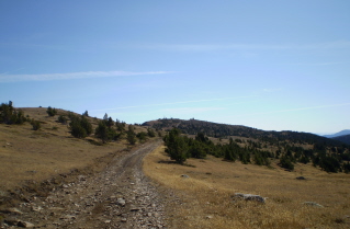
extends the length of the hike and takes one on a gentle climb through a mix of forest and meadows. The trail/service road
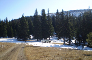
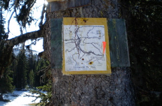
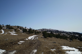
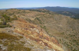
up Mt. Beaconsfield starts 2.8 KM (1.7 miles) down this road in a meadow. Note: At one point there is a fork in this road.
Take the right fork. The other fork says Authorized Vehicles only. In the meadow there is a rough service road that heads
up the mountain.
GPS Data: Right click on link to bring up menu to download (save) file.
Beaconsfield Mountain 2009/10 |
Beaconsfield Mountain 2008/09 |
Home Chilliwack
Hope Pemberton
Penticton Squamish
Vancouver Whistler
