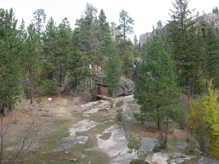
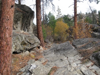
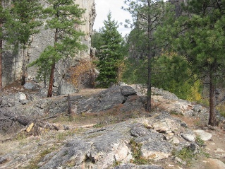
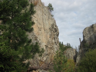
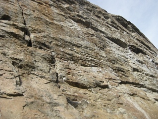
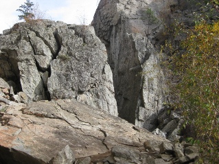
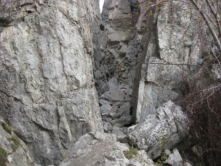
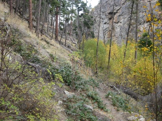
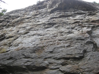
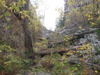
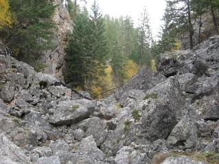
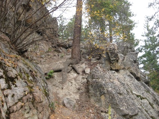
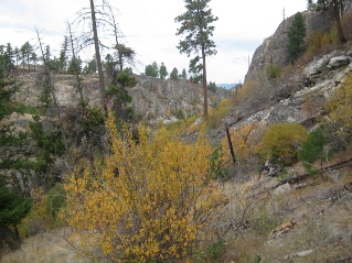
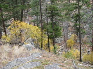
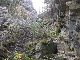
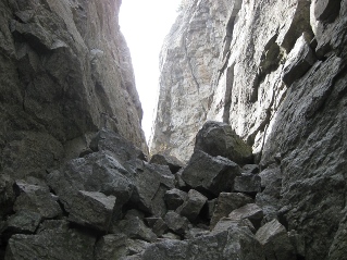
Located about 10KM (6.2 miles) south of Penticton, British Columbia. Hiking time round trip- 2.5 to 3 hrs allowing for stops. Round trip roughly 4.8KM (3 miles), elevation gain-146M (477 feet). Best time is usually May to October. Note: The park is heavily used by climbers during the summer holidays. For a quiet hike the best times are spring and fall.
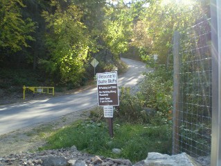
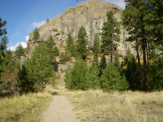
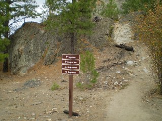
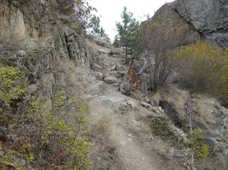
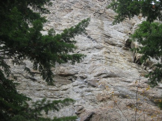
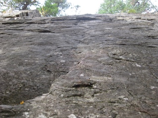
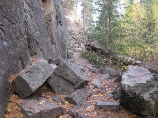
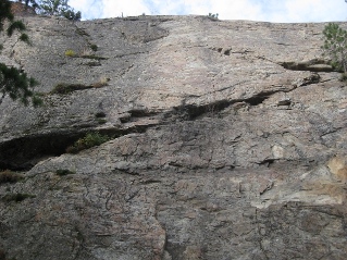
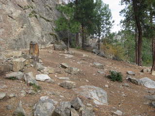
Directions: Starting in Penticton drive south on South Main which becomes Lakeshore Drive. From Lakeshore Drive turn left onto Smythe Road. Follow Smythe Road which goes into Skaha Bluffs Provincial Park and to the parking lots. The section of the road in Skaha Bluffs Provincial Park is quite narrow and is a steady climb. Drive carefully and watch for oncoming traffic. There is not much room for two vehicles. Parking is free or at least it was in 2014. There are maps available for Skaha Bluffs, recommend obtaining one as they are very helpful. The area has a number of parallel canyons and it can be easy to get confused. Using the map and following the signs it is relatively easy to find the path for Shady Valley. In Shady Valley there are a number of climbing walls. Be careful not to interfere with any climbers or step on their equipment. The trail through Shady Valley provides a very pleasant hike with some scenic points. The trail climbs up and down but overall is a moderate, easy trail. It passes several climbing walls which can be very busy during the summer holiday season.
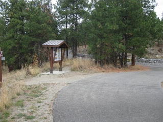
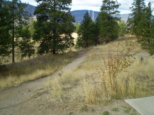
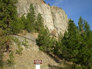
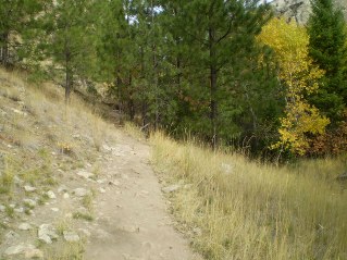
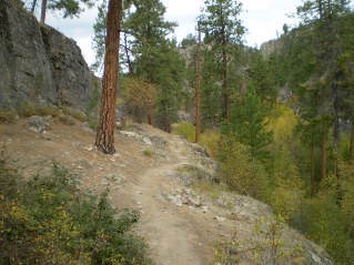
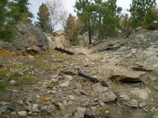
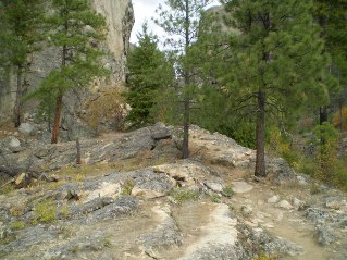
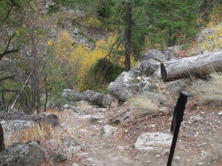
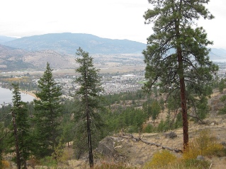
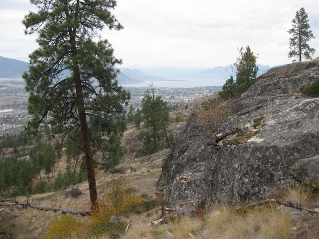
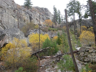
The photos below with a short description provide an overview of the trail.
GPS Data: Right click on link to bring up the menu to download(save)the file.
Skaha Bluffs Shady valley Trail 2014/10 |

|

|

|

|

|

|

|

|

|

|

|

|

|

|

|

|

|

|

|

|

|

|

|

|

|

|

|

|

|

|

|

|

|

|

|

|