Mountain Hiking Trails South Western and Okanagan regions British Columbia, Canada

Reserved for
future use


Home Chilliwack  Hope Pemberton  Penticton, Squamish  Vancouver Whistler

Penticton Mountain Trails- Yellow Lake

Yellow Lake: Elevation 1388 meters (4539 feet).

Located about 28.8KM (17.9 miles) south of Penticton, British Columbia. Hiking time round trip- 6 to 7 hrs allowing for stops. Round trip roughly 6.4KM (4 miles), elevation gain-635M (2076 feet) to the peak. Best time is usually late July to September.

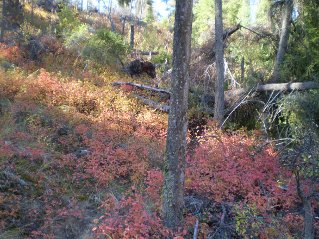
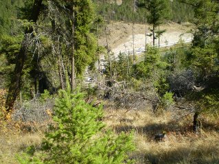
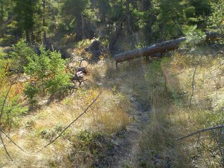
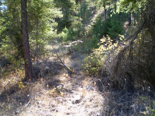
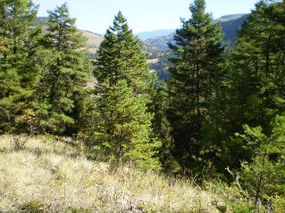
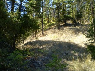
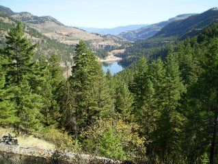
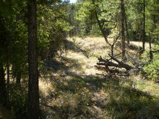
Directions: From Penticton drive south on Highway 97. Turn right onto Highway 3A which is just past Kalden heading west. Follow Highway 3A to Yellow Lake and park at the west end of the lake. This requires a left turn across the highway into the parking lot. There is a fence with an unlocked gate in front of a swampy area. This area is generally dry later in the summer depending on the weather. Too early in the summer and it is impassible unless one is prepared to get very wet and muddy. See the photographs below. Once across the swampy area a trail running alongside the lake becomes visible. Follow the trail a short distance along the lake watching for a trail on the right that will climb steeply. Take this trail which will climb away from the lake. Initially the trail is fairly easy to follow although in some spots one must scramble around fallen trees. Look for flags and rock cairns marking the trail. The trail climbs through a series of ridges and grassy meadows with some nice views of Yellow Lake. Eventually the trail passes through a large very grassy meadow and comes to a narrow bush road. The trail can be hard to follow in this grassy meadow. Turn right onto this road and follow it. Beyond this point finding the rest of the way to the peak without having to do some backtracking is difficult. There a lot of paths in this area. There are occasional markings, some of which are confusing. It would be easy to get lost, especially on the return trip, one could end up in very difficult terrain. Strongly recommend a GPS is used going in and out. On a sunny day the views from the peak are very impressive.

The route described here with its GPS way-points was cobbled together after backtracking several times on trails that didn't work out. It is probably not the most optimum route. The photos below show only parts of the trail, the views from the peak and provide a limited description.

GPS Data: Right click on link to bring up the menu to download(save)the file.

Yellow Lake, GPS GPX format-Zipped.    Yellow Lake, GPS TXT format.

Yellow Lake Trail 2014/09

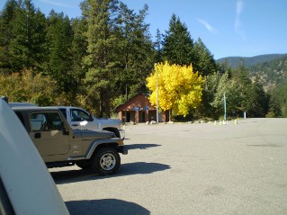
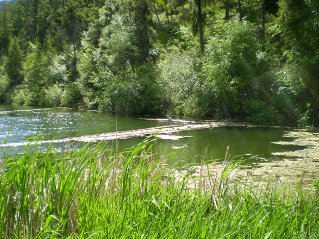
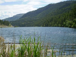
Parking Lot west end of Yellow Lake by Highway 3A, Yellow Lake Trail 2014-09. West End of Yellow Lake,Heron sitting on a log, Yellow Lake Trail 2014-09. View of Yellow Lake from the west end of the lake, Yellow Lake Trail 2014-09.
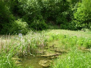
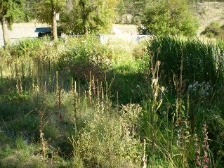
Swampy area not dry, too early in the summer, came back a few weeks later, Yellow Lake Trail 2014-09. Crossing the now dry swampy area, looking back at the fence and gate, Yellow Lake Trail 2014-09. Past the swampy area on other side of the lake, start of the trail, Yellow Lake Trail 2014-09.
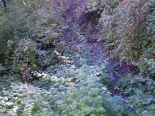
A short distance in take the trail on the right that heads up the slope, Yellow Lake Trail 2014-09. Trail climbs steeply, is easy to follow at this point, Yellow Lake Trail 2014-09. Looking back at the highway and parking lot, Yellow Lake Trail 2014-09.
Further up the path, Yellow Lake Trail 2014-09. Rock cairn marking the path, Yellow Lake Trail 2014-09. Trail heads through grassy meadows, notice flag on tree at the right, Yellow Lake Trail 2014-09.
Climbing, viewpoint from the trail, Yellow Lake Trail 2014-09. Trail heads up along a ridge, Yellow Lake Trail 2014-09. Higher up another viewpoint of Yellow Lake, Yellow Lake Trail 2014-09.
Trail climbs through grassy areas and intermittent plateaus, Yellow Lake Trail 2014-09. Trail now runs alongside a ravine, take the trail that goes down and crosses the ravine, Yellow Lake Trail 2014-09. On the other side of the ravine the trail is hard to follow in a grassy area, watch for flags, Yellow Lake Trail 2014-09.
The grassy area ends at a road, turn right onto this road, Yellow Lake Trail 2014-09. Road comes to a fork, do not take this branch, Yellow Lake Trail 2014-09. At the fork took the path on the left, Yellow Lake Trail 2014-09.
Path came to a small clearing, took the path on the left, Yellow Lake Trail 2014-09. Now on the left path out of the small clearing, Yellow Lake Trail 2014-09. Eventually came to this fork, took the road on the left which continued climbing, Yellow Lake Trail 2014-09.
Road ended in a clearing, took a path heading up, Yellow Lake Trail 2014-09. After a series of paths heading up took this path going between two high points, Yellow Lake Trail 2014-09. Took the path on the right climbing towards a high point, Yellow Lake Trail 2014-09.
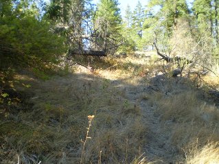
Path eventually disappeared into very grassy meadows, continued across the meadows towards a high point, Yellow Lake Trail 2014-09. Near the peak the grassy areas thin out, Yellow Lake Trail 2014-09. At a peak with a marker on it, Yellow Lake Trail 2014-09.
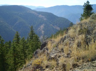
Looking towards Twin Lakes from the peak, Yellow Lake Trail 2014-09. Another view from the peak, Yellow Lake Trail 2014-09. Another view from the peak, Yellow Lake Trail 2014-09.
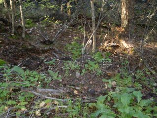
Heading back down, a rabbit in the bushes beside the trail, Yellow Lake Trail 2014-09.


Home Chilliwack  Hope Pemberton  Penticton, Squamish  Vancouver Whistler