Mountain Hiking Trails South Western and Okanagan regions British Columbia, Canada
Reserved for
future use
Home Chilliwack
Hope Pemberton
Penticton, Squamish
Vancouver Whistler
Penticton Mountain Trails- Campbell Mountain
Campbell Mountain: Elevation 844 meters (2759 feet).
Located about 8KM (5 miles) north east of Penticton, British Columbia. Hiking time round trip- 2.25 to 3 hrs allowing for stops.
Round trip roughly 6.4KM (4 miles), elevation gain-188M (614 feet) to the peak, 368M (1202 feet) if the climb back
from the south ridge is included. Best time is usually April to October.
Directions: Campbell Mountain is the nearby mountain that is seen looking east from Penticton. Drive east on Reservoir Road which is a winding uphill road. Reservoir Road is
located north east of Penticton off the highway to Naramata. At about 2.2KM (1.4 miles) up Reservoir Road there is a road
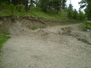
on the right which turns sharply and heads up Campbell Mountain. This road has now been deactivated by a trench dug across it. There is a small area at the start of the road for parking. A trail starts here which will lead to a service road. The service road heads up the mountain and there is a trail a
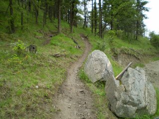
bit to the west of this road which can be taken for a more pleasant hiking trail in the woods. Eventually one will have to get
back on the service road and pass through the gate in the fence. This gate is located on the service road at a high point of the fence.
Some parts of the mountain are posted private property. The service road goes to the peak. From here one has the
option of dropping down to a ridge at the south end of Campbell Mountain which will require a 181M (591 feet) climb
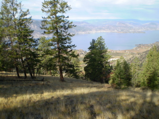
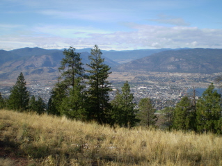
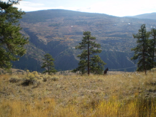
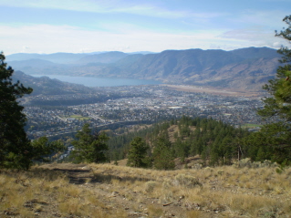
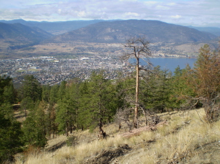
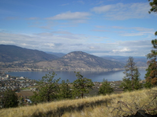
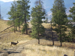
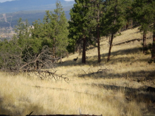
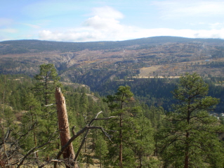
back up. This hike close to Penticton provides a good work out and some scenic views. Often deer will be seen some of which
seem used to people as a result of living close to the city.
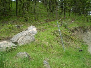
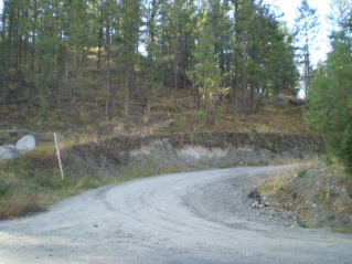
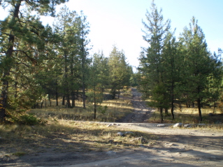
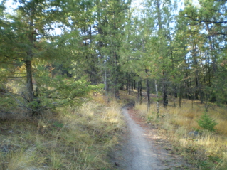
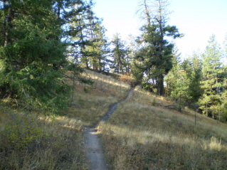
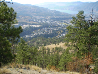
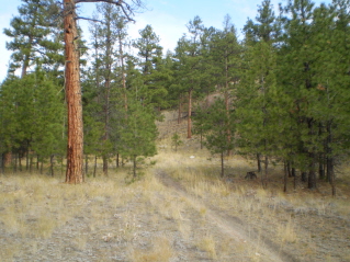
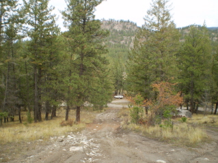
The photos below show the trail and provide a bit of description.
GPS Data: Right click on link to bring up menu to download (save) file.
Campbell Mountain Update 2013/05 |
Campbell Mountain 2009/10 |
Home Chilliwack
Hope Pemberton
Penticton, Squamish
Vancouver Whistler
