Approximately 40 KM (25 miles) from Penticton, British Columbia. Hiking time round trip approximately- 2.5 to 4.0 hrs allowing for stops. Round trip is roughly 10 KM (6.2 miles), elevation gain-260M (850 feet). Best time is usually July to October.
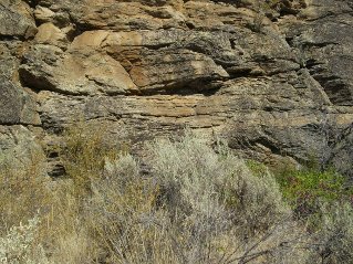
Directions: McIntyre Bluff is north of Oliver, British Columbia. One can get a good view of McIntyre Bluff just south of Gallagher Lake looking to the west from highway 97. Some of the rock formations in this area are very old and are among the oldest in Canada. When the glaciers were melting there was an ice and rock plug here that caused the formation of a large lake extending all the way north to Enderby. The plug eventually gave way and much of the lake flooded south. The local First Nations Band history tells of a battle centuries ago on the top of McIntyre Bluff. An invading war party from the south (now Washington State) was lured to the top and driven over the cliffs.
The most commonly used trail head is located on private land at Covert Farms. There is U-pick and a market for fruits and vegetables located on the farm. There also is a wine lounge that offers wine tasting and a charcuterie board with meat, cheese and crackers. The opening of the Fruits and Vegatable Market may vary depending on growing conditions. Best contact Covert Farms if it is early in the growing season. Their website is at www.covertfarms.ca.
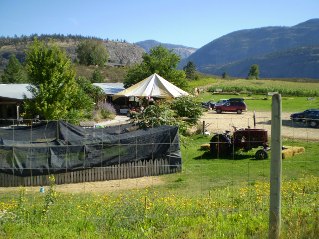
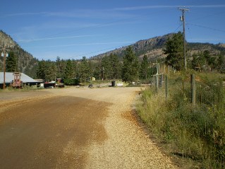
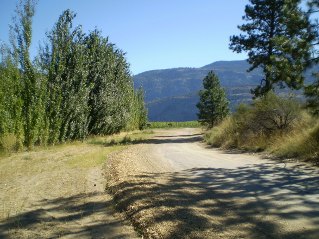
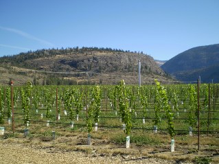
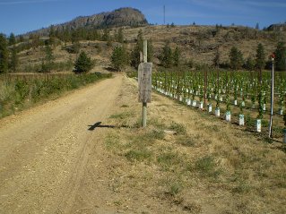
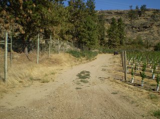
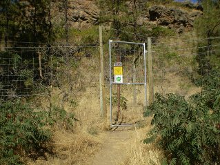
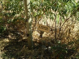
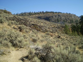
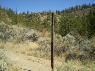
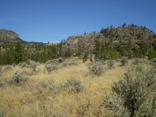
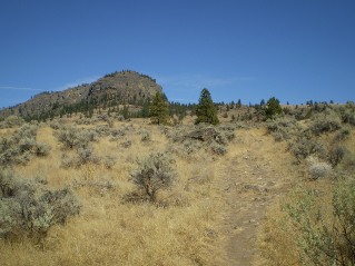
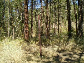
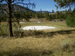
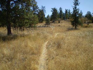
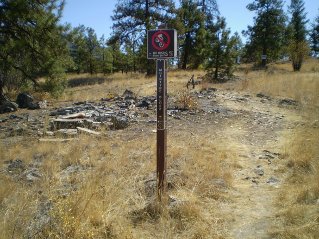
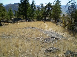
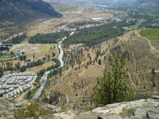
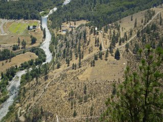
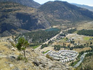
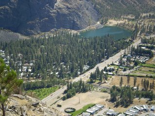
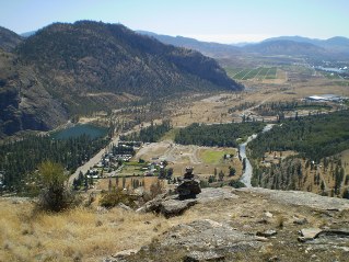
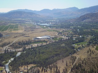
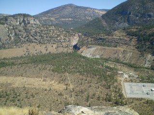
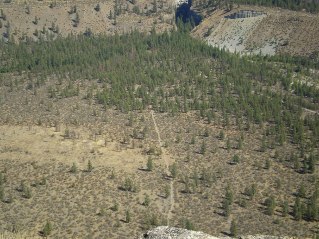
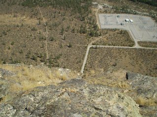
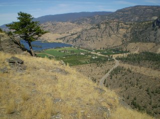
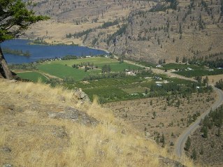
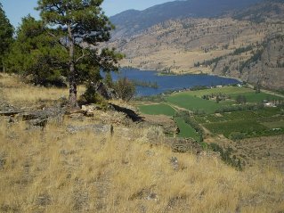
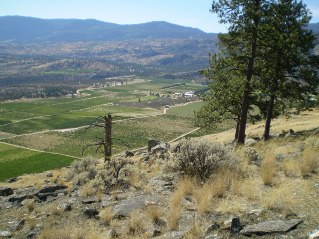
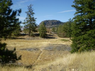
From Penticton drive south on Highway 97 and turn right (west) onto Seacrest Hill Road. Follow Seacrest Hill Road which steadily climbs and eventually becomes 386 Avenue. Watch for the Covert Farms sign on the right (north) as the crest is reached. Turn into the Covert Farms road. At Covert Farms there is a parking lot to park in on your left. From here follow signs to 'Bluff Hike' and 'Wine Lounge'. When you reach the Wine Lounge this is the trailhead. Outside the wine lounge there are trail maps and a sign in book kiosk. From here walk through the farm to a gate that brings you onto park land. The walk to the trail on the roads through the growing fields is very pleasant.The gate usually is held shut by a chain. Once through the gate close it and re-fasten the chain. Take the trail to the right which heads east following alongside the electric fence and then swings north and starts to climb. Follow the directions to Rattlesnake Lake on the sign post which will be seen shortly after the trail starts to climb north. On the east side of Rattlesnake Lake (which is usually dry by late summer) another sign will point to the trail going to McIntyre Bluff. It can get very hot so bring sun protection and lots of water. The trail is very scenic, probably best in early July before things start to dry out. The views from the bluff are excellent. Be very careful around the bluff as the drop offs are straight down. The photos below show the route. Note: The pictures showing parking at the farm and walking to the gate are out of date. Pancho's Market is gone. See the description above for the changes.
GPS Data: Right click on link to bring up menu to download (save) file.
McIntyre Bluff 2011/09 |

|

|

|

|

|

|

|

|

|

|

|

|

|

|

|

|

|

|

|

|

|

|

|

|

|

|

|

|

|

|

|

|