Mountain Hiking Trails South Western and Okanagan regions British Columbia, Canada

Reserved for
future use


Home Chilliwack  Hope Pemberton  Penticton Squamish  Vancouver Whistler

Penticton Mountain Trails- Enderby Cliffs

Enderby Cliffs: Elevation 1183 meters (3869 feet)

Approximately 160 KM (99.6 miles) from Penticton, British Columbia. Hiking time round trip- 4.5 to 5.0 hrs. Round trip roughly 8 KM (5.0 miles), elevation gain-732M (2394 feet). Best time is usually June to September.

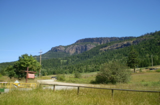
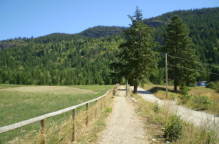
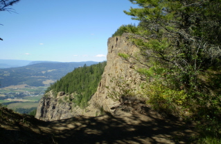
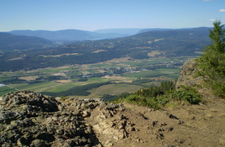
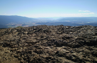
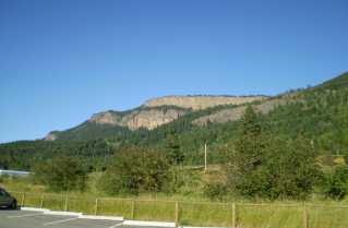
Directions: From Penticton drive north on Highway 97 to Enderby. In Enderby turn right from Highway 97 onto Mabel Lake Road heading east. The intersection of Mabel Lake Road and Highway 97 has traffic lights. Drive roughly 2 kilometers (1.24 miles) on Mabel Lake Road and turn left onto Brash Allen Road. Drive north on Brash Allen Road which goes by the Enderby Cliffs. Look for a parking lot on the left from which the trailhead starts. The trail starts as a corridor passing though private land on both sides and then heads up the mountain. The cliffs are left over from an ancient volcano. This is evident from the lava like appearance of the large boulders on the way up and the rocks at the top of the cliffs. It is a steep but very scenic trail with the views getting better the higher one climbs. Be careful to stay on the trail near the top and away from the edge. It is high and the drop off from the trail is nearly straight down in some areas.

GPS Data: Right click on link to bring up menu to download (save) file.

Enderby Cliffs GPS GPX format-Zipped.   Enderby Cliffs GPS TXT format.

Enderby Cliffs 2010/08

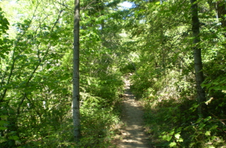
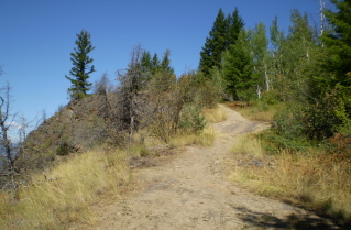
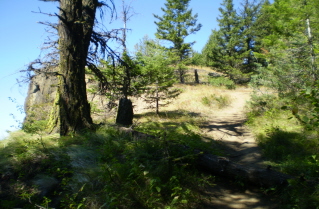
Parking lot beside Brash Allen Road, Enderby Cliffs 2010-08. Start of the trail, corridor through private property, Enderby Cliffs 2010-08. Trail starts climbing up the mountain,  Enderby Cliffs 2010-08.
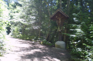
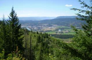
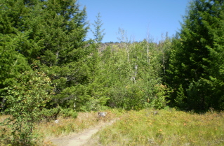
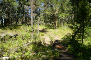
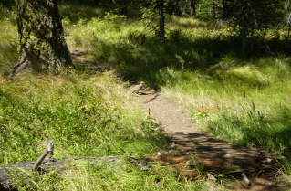
A Bavarian way-cross monument at the intersection of the trail and an old logging road, Enderby Cliffs 2010-08. A viewpoint overlooking Enderby part way up, Enderby Cliffs 2010-08. Forest opens up a bit further up the trail, Enderby Cliffs 2010-08.
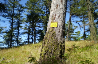
Trail crosses a narrow plateau before resuming the climb, Enderby Cliffs 2010-08. Trail swings north towards the cliffs, Enderby Cliffs 2010-08. Warning sign about steep cliffs ahead, best stay on the trail, Enderby Cliffs 2010-08.
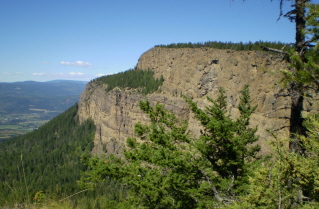
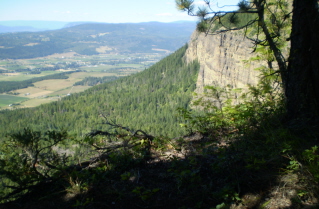
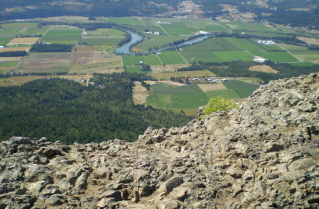
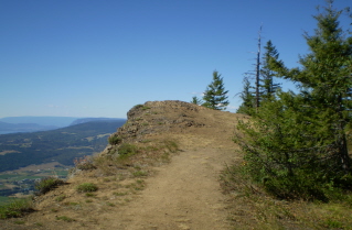
View from the trail of the high point on the cliffs, Enderby Cliffs 2010-08. Trail winds along the edge of a cliff, Enderby Cliffs 2010-08. Looking down from the trail along the cliff edge, Enderby Cliffs 2010-08.
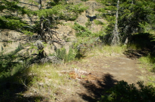
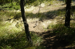
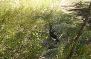
Trail heads up towards the high point, Enderby Cliffs 2010-08. Another view from the trail along the cliff edge, Enderby Cliffs 2010-08. A partridge walking across the trail, Enderby Cliffs 2010-08.
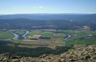
View from high point looking west over North Okanagan Valley, Enderby Cliffs 2010-08. View from high point looking Northwest over North Okanagan Valley, Enderby Cliffs 2010-08. Rock outcrop at high point formed by an ancient volcano, Enderby Cliffs 2010-08.
Looking down from high point, Enderby Cliffs 2010-08. Heading back down, a look back at the high point, Enderby Cliffs 2010-08. Heading back down, a partridge walking along the trail, Enderby Cliffs 2010-08.
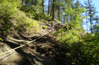
Heading back down, going by a partridge watching from beside the trail, Enderby Cliffs 2010-08. Ropes have been put in to assist in getting up and down the steep sections, Enderby Cliffs 2010-08. Back at the parking lot, late afternoon view of the cliffs, Enderby Cliffs 2010-08.


Home Chilliwack  Hope Pemberton  Penticton Squamish  Vancouver Whistler