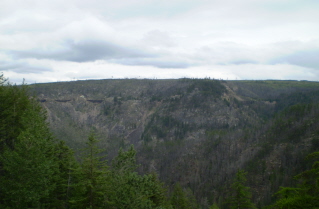
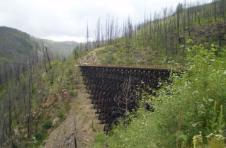
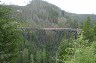
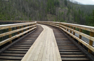
Mountain Hiking Trails South Western and Okanagan regions British Columbia, Canada

Reserved for
future use


Home Chilliwack  Hope Pemberton  Penticton Squamish  Vancouver Whistler

Penticton Mountain Trails- Kettle Valley Railway Myra Canyon

Kettle Valley Railway Myra Canyon: Elevation 1269 meters (4151 feet)

Approximately 88 KM (55 miles) from Penticton, British Columbia. Biking time round trip- 3 to 4 hrs allowing for stops. Round trip roughly 20 KM (12.4 miles), elevation gain-37M (122 feet). Best time is usually May to September.

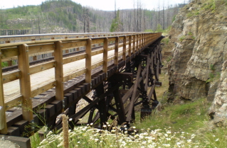
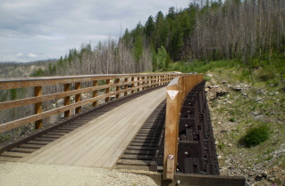
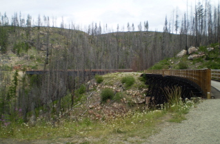
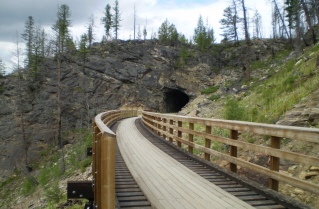
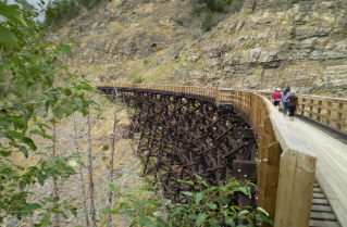
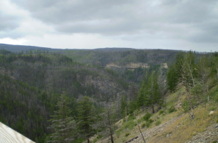
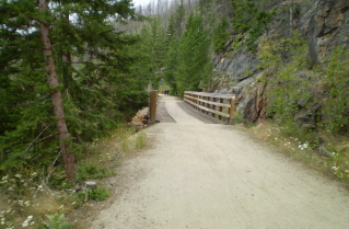
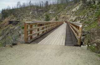
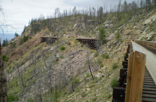
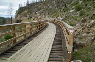
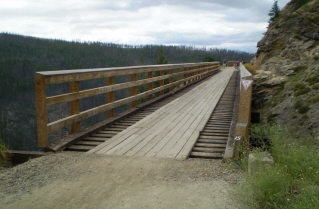
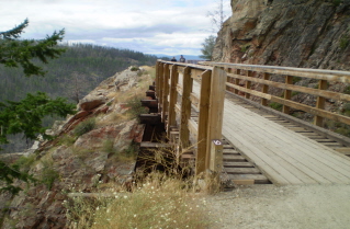
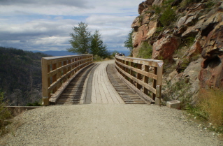
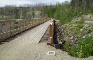
Directions: From Penticton drive north on highway 97 to Kelowna. In Kelowna turn right onto Pandosy Street. Next turn left onto KLO Road. At the junction of KLO Road and McCulloch Road turn onto McCulloch Road. Follow McCulloch Road which will eventually join into Gulley Road. Turn left onto Gulley Road and after a short distance turn right onto June Springs Road. Follow June Springs Road to a gravel road called Little White Forest Service Road. Follow Little White Forest Service Road which steadily climbs to a parking area about 4 KM (2.5 miles) distant. One can park here or turn left and drive down the KVR rail bed roughly 1.5 KM (0.9 miles) and park at the Ruth Station parking area. One can walk or bike on the Kettle Valley Railway rail bed through Myra Canyon. To get through Myra Canyon the railway went into the canyon on one side and came out on the other side making a U. The canyon has 18 trestles originally built 1912-1914. Putting a railway through this canyon was considered such a feat engineers from around the world have come to see it. Many of the original trestles were destroyed in the 2003 Okanagan Mountain Park forest fire but by 2008 had been rebuilt to their original specifications. Besides the trestles, tunnels and historical information the route through Myra Canyon provides great viewpoints.

GPS Data: Right click on link to bring up menu to download (save) file.

Kettle Valley Railway Myra Canyon GPS GPX format-Zipped.   Kettle Valley Railway Myra Canyon GPS TXT format.

Kettle Valley Railway Myra Canyon 2010/08

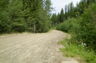
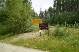
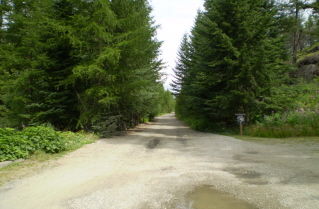
Little White Forest Service Road by parking area, 2010-08. Kettle Valley Railway Myra Canyon, sign at first parking area before Ruth Station, 2010-08. Kettle Valley Railway rail bed to Ruth Station starting from first parking area, 2010-08.
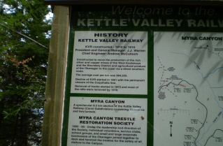
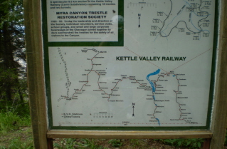
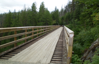
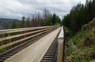
Sign providing some historical information on the KVR, 2010-08. Sign showing historical information on the KVR route and service points, 2010-08. Kettle Valley Railway Myra Canyon trestle 1, 2010-08.
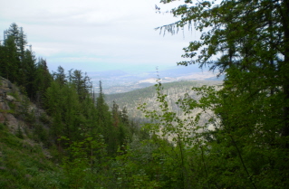
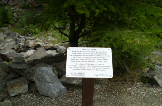
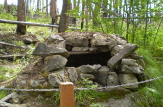
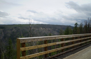
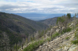
View of Okanagan Valley from KVR Myra Canyon trestle 1, 2010-08. Historical information on Rock Ovens used in KVR construction camps, 2010-08. Rock Oven beside the Kettle Valley Railway Myra Canyon, 2010-08.
Kettle Valley Railway Myra Canyon trestle 2, 2010-08. KVR route on the opposite (east) side of Myra Canyon as seen from trestle 2, 2010-08. Kettle Valley Railway Myra Canyon trestle 3, 2010-08.
KVR route on the opposite (east) side of Myra Canyon as seen near trestle 3, 2010-08. Kettle Valley Railway Myra Canyon trestle 4, 2010-08. Kettle Valley Railway Myra Canyon trestle 6 crossing to other side of Myra Canyon, 2010-08.
Kettle Valley Railway Myra Canyon, crossing trestle 6, 2010-08. Kettle Valley Railway Myra Canyon trestle 7, 2010-08. Kettle Valley Railway Myra Canyon trestle 8 and 9, 2010-08.
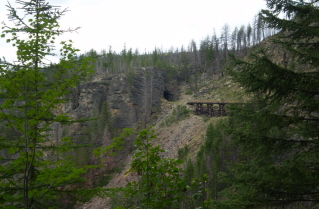
Kettle Valley Railway Myra Canyon trestle 10 and tunnel, 2010-08. Kettle Valley Railway Myra Canyon trestle 11, 2010-08. Looking back at the KVR rail bed on the west side of Myra Canyon, 2010-08.
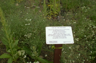
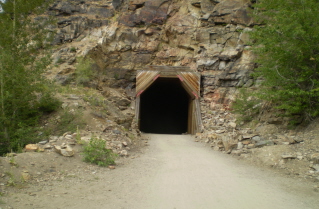
Highest point on the Kettle Valley Railway, Myra Canyon, 2010-08. Kettle Valley Railway Myra Canyon tunnel after trestle 11, 2010-08. Kettle Valley Railway Myra Canyon, the route ahead after the tunnel, 2010-08.
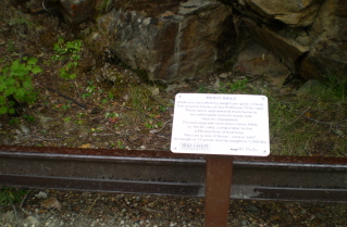
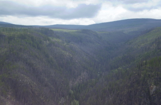
Kettle Valley Railway Myra Canyon trestle 12, 2010-08. Kettle Valley Railway Myra Canyon, information on rails used, 2010-08. Kettle Valley Railway Myra Canyon, view of the canyon route ahead, 2010-08.
Kettle Valley Railway Myra Canyon trestle 13, 2010-08. Kettle Valley Railway Myra Canyon, view of trestles ahead after trestle 13, 2010-08. Kettle Valley Railway Myra Canyon trestle 14, 2010-08.
Kettle Valley Railway Myra Canyon trestle 15, 2010-08. Kettle Valley Railway Myra Canyon trestle 16, 2010-08. Kettle Valley Railway Myra Canyon trestle 17, 2010-08.
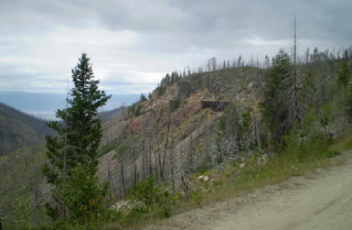
Kettle Valley Railway Myra Canyon near trestle 17, view of Okanagan Valley, 2010-08. Kettle Valley Railway Myra Canyon near trestle 17, canyon view looking back towards trestle 6, 2010-08. Kettle Valley Railway Myra Canyon trestle 18, 2010-08.
Kettle Valley Railway Myra Canyon information sign at Kelowna viewpoint, 2010-08. Kettle Valley Railway Myra Canyon entrance onto rail bed from Myra Station parking area, 2010-08. Kettle Valley Railway Myra Canyon, inside a tunnel, 2010-08.
Kettle Valley Railway Myra Canyon, a curious deer beside the rail bed, 2010-08. Kettle Valley Railway Myra Canyon, on return, looking back at trestle 10 and tunnel, 2010-08.


Home Chilliwack  Hope Pemberton  Penticton Squamish  Vancouver Whistler