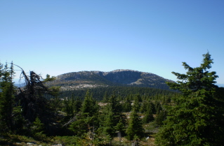
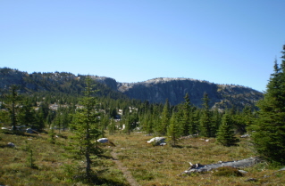
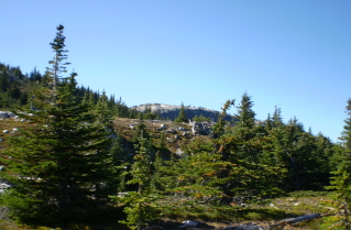
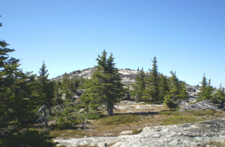
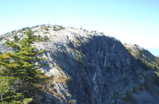
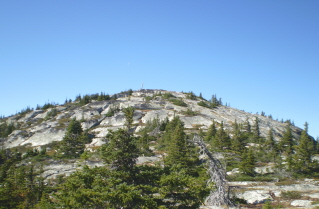
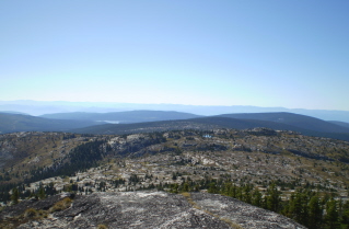
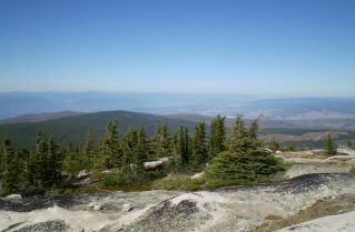
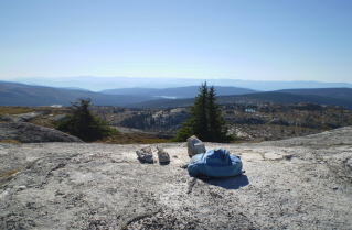
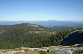
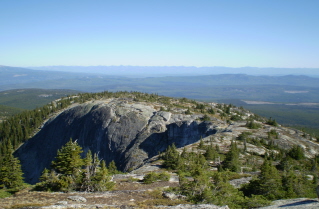
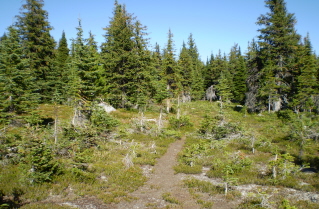
Approximately 85 KM (53 miles) from Penticton, British Columbia. Hiking time round trip- 7.5 to 8.5 hrs. Round trip roughly 16KM (9.9 miles), elevation gain-600M (1962 feet). Best time is usually July to September.
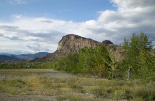
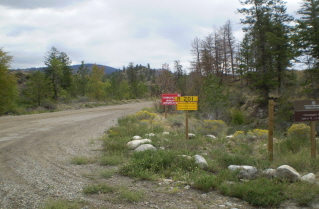
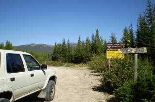
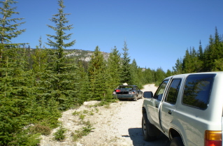
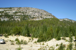
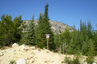
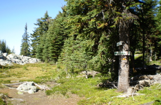
Directions: Drive south from Penticton on highway 97 to Okanagan Falls. In Okanagan Falls drive to Forest Service Road 201 (FSR201) which is located on the east side of Okanagan Falls beside a mill and lumber yard. Heading south down main street turn left onto the street that runs beside the service station. Then turn right onto a through street that heads south and follow it. After climbing a hill the road will turn east and the mill and lumber yard will come into view. The road swings by the front of the mill and continues around to the start of FSR201 which is a gravel road. Stay on FSR201 for 57KM (35.4 miles). There should be a 57KM sign near where a left turn is made onto Greyback Mountain Road. This is GB3 in the GPS data. About 1.5 KM (0.93 miles) in on Greyback Mountain Road turn right onto Canyon Lakes Forest Service Road. The condition of the road can be uncertain from this point, could be washouts. Drive as far as safely possible. Continue approximately 7KM (4.3 miles) on Canyon Lakes Forest Service Road watching for what looks like an old shallow gravel pit on the left side of the road. There is a trail marker at the top of the gravel pit marking the start of the trail.
GPS Data: Right click on link to bring up menu to download (save) file.
Little White Mountain 2009/09 |

|

|

|

|

|

|

|

|

|

|

|

|

|

|

|

|

|

|

|

|

|