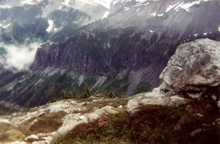
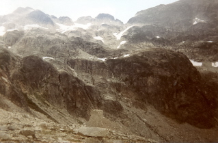
Approximately 120 Km (74.5 miles) from Vancouver, British Columbia. Hiking time round trip- 3 to 4 hrs. Round trip roughly 6 KM (4 miles), elevation gain-550M (1799 feet). Best time is usually July to October.
Directions: Note: Once off highway 99 the roads to the start of the hike are narrow rough gravel roads.
Heading north on highway 99 from Vancouver watch for Brandywine Falls Provincial Park which is approximately 41 Km (25 miles) north of Squamish. Roughly 3 Km (1.9 miles) past Brandywine Falls turn left onto Brandywine Forest Service Road. After a short distance the road forks, keep to the left. About 4.5 Km (2.8 miles) in there is a 3 way fork. Stay on the middle road. The trail head is approximately 2.2 Km (1.4 mile) from this fork or roughly 6.7 Km (4.2 miles) in from the highway. The road used to get rougher the further one went in. It may now be impossible to drive right to the trail head. Drive as far as safely possible, park and walk to the trailhead. Watch for the trail sign on the right as it is easy to miss. The sign and trail are located just before crossing a creek.
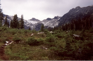
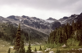
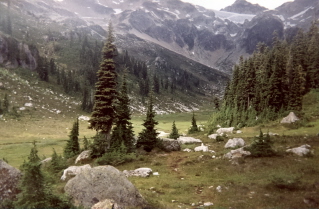
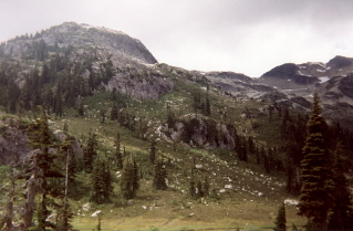
Brandywine Meadows 1995/08 |

|

|

|

|

|

|