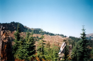
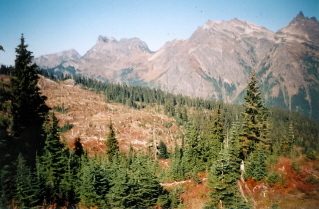
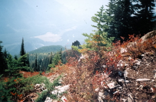
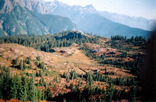
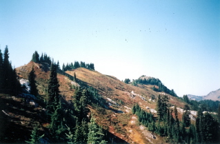
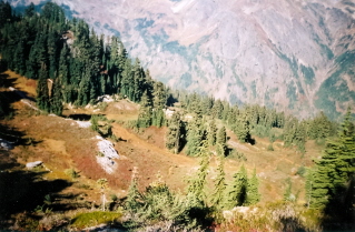
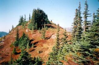
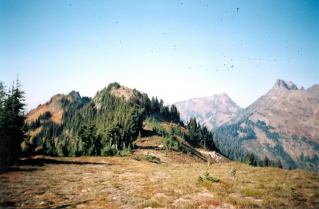
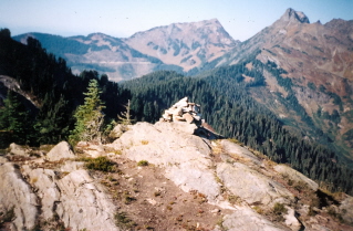
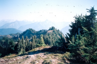
Approximately 145 KM (90.1 miles) from Vancouver, British Columbia. Hiking time round trip around 5 to 6 hrs. Round trip roughly 10 KM (6.2 miles), elevation gain-620 Meters (2029 feet). Best time is usually July to October. This hike although very scenic does not seem to get much traffic so the trail may be overgrown.
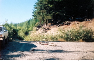
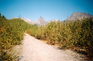
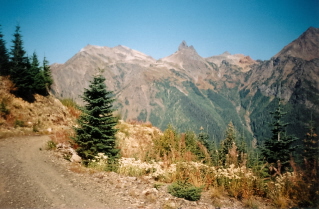
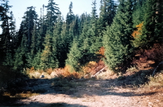
Directions: The roads off Chilliwack Lake Road to the Mount Laughington parking area are very rough, rocky gravel logging roads best traveled by vehicles with heavy duty tires and good clearance such as trucks or 4-wheel drives. From highway 1 take the exit into Chilliwack. Drive to Chilliwack Lake Road and turn left at the bridge crossing Chilliwack River onto Chilliwack Lake Road. Do not cross the bridge. Roughly 28 KM (17.4 miles) down Chilliwack Lake Road there will be a sign on the left marking the Chilliwack-Foley service road. Turn left onto this gravel road. About 2 KM (1.2 miles) in cross Foley creek and go right at the junction. Now go 2KM (1.2 miles) and cross a bridge that puts the river on the left side. About 300 meters (981 feet) make a left onto Airplane Creek Road which recrosses Foley Creek and starts rapidly climbing. Drive roughly 4 KM (2.5 miles) on this road. Park where an overgrown logging road goes straight ahead and a newer one intersects from the right. The last part of this road approximately 1.2 KM (0.8 miles) is very steep and there may be a washout. There is a clearing just before this last part of the road that can be used as an alternate parking. One may want to park here and walk up the road to check its condition or walk to the trail head from here. Once at the start of the overgrown logging road walk about 2KM (1.2 miles) along this road. The start of the trail to Mount Laughington was poorly marked. It is found near the end of a clearing off the side of the road. See the photograph below and the GPS coorindates. Once the path was located there were intermittent trail markers. The route becomes more obvious once the ridges that are followed to Mount Laughington become visible.
GPS Data: Right click on link to bring up menu to download (save) file.
Mount Laughington 2003/10 |

|

|

|

|

|

|

|

|

|

|

|

|

|

|

|

|

|

|