Mountain Hiking Trails South Western and Okanagan regions British Columbia, Canada
Reserved for
future use
Home Chilliwack
Hope Pemberton
Penticton Squamish
Vancouver Whistler
Penticton Mountain Trails- Okanagan Park from South Entrance
Okanagan Mtn: Elevation 1566 meters (5121 feet)
Approximately 42 KM (26 miles) from Penticton, British Columbia. Hiking time round trip- 6 to 7 hrs.
Round trip roughly 9 KM (5.6 miles), elevation gain-712M (2328 feet). Best time is usually June to September.
Directions: From Penticton drive north on the East side of Okanagan Lake past Naramata.
Once on Chute Lake Road drive approximately 25KM (15.5 miles). On the left hand side there will be a narrow dirt road
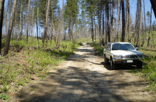
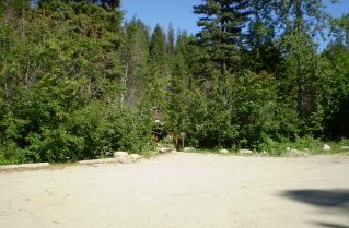
that leads to the South Parking Lot for Okanagan Park. There is a photograph below that shows what the entrance to this road
looks like. From the South Parking Lot one can choose from several trails and make the hike as long as desired.
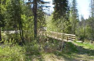
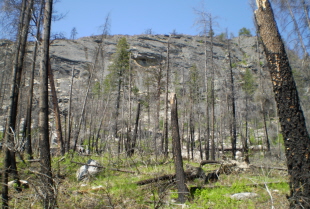
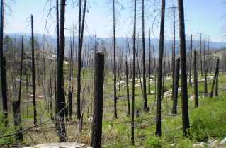
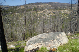
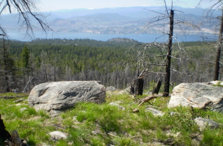
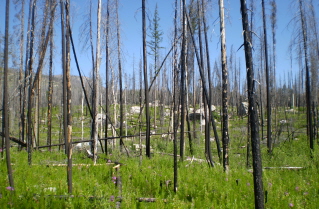
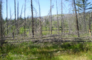
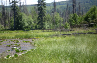
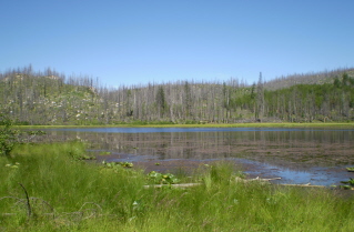
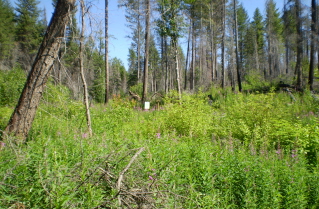
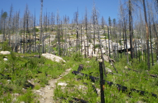
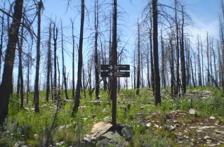
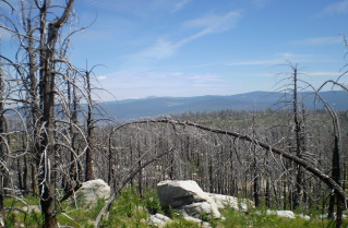
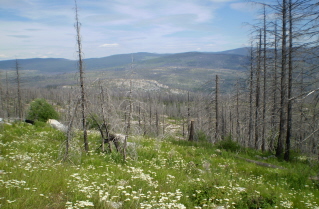
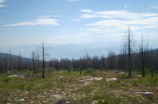
A forest fire burned through this area several years ago but it is interesting to see how the forest is recovering.
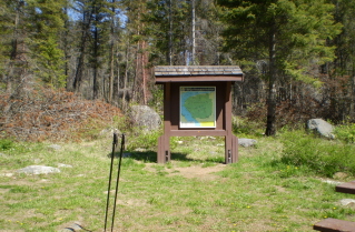
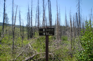
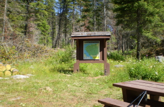
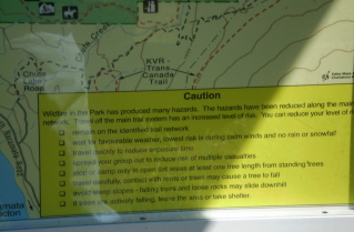
The pictures below are from the Mountain Goat Trail, Gimmill Lake and Wild Horse Canyon hikes. Hiking time and altitude gain is for
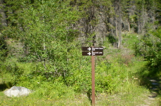
the Mountain Goat Trail to Okanagan Mountain. On the Gimmill Lake hike watch for a sign where one has to branch off what appears
to be the main trail. If this branch is missed the trail eventually fades out after quite a distance.
GPS Data: Right click on link to bring up menu to download (save) file.
Okanagan Park Wild Horse Canyon 2009/05 |
Okanagan Park Gimmill Lake 2008/07 |
Okanagan Park Mountain Goat Trail 2008/07 |
Home Chilliwack
Hope Pemberton
Penticton Squamish
Vancouver Whistler
