Located on the west side of Penticton, British Columbia. Biking time round trip- 1.5 to 2 hrs allowing for stops. Round trip roughly 11KM (7 miles), elevation gain-flat. Best time is usually April to October.
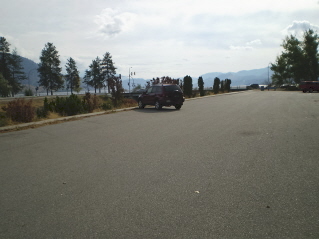
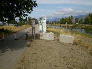
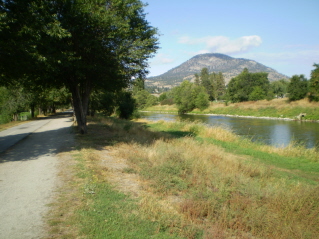
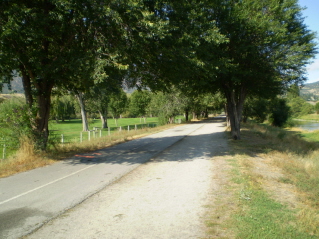
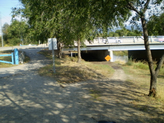
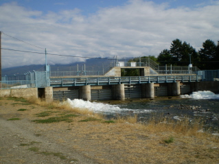
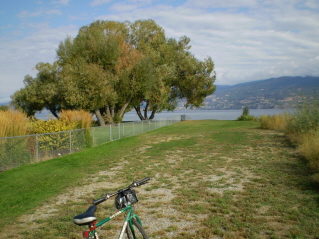
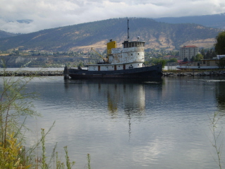
Directions: The Channel Pathway provides a pleasant walk or bike ride on the outskirts of Penticton. In Penticton drive south to highway 97 where a bridge crosses over the Channel Parkway. Heading west just after the bridge turn right into a parking area by the west side of the Channel Parkway. Follow the Channel Pathway heading north which will end at the north end of Penticton on the shore of Okanagan Lake. There are old ships anchored here that were used to carry passengers and freight on Okanagan Lake before the railway came. There is also the option of biking the KVR from Penticton to Summerland by taking a trail off the Channel Pathway. This trail is found about 3.5KM (2.2 miles) north. There is a gate with an opening beside the gate and a trail heading west. This trail will link up with the KVR rail bed and heads north to Trout Creek on the outskirts of Summerland. See the Kettle Valley Railway Penticton to Summerland trail description under Penticton trails. The photos below show the Channel Pathway and provide a bit of description.
GPS Data: Right click on link to bring up menu to download (save) file.
Channel Pathway-Penticton 2011/10 |

|

|

|

|

|

|

|

|

|

|