Mountain Hiking Trails South Western and Okanagan regions British Columbia, Canada

Reserved for
future use


Home Chilliwack  Hope Pemberton  Penticton, Squamish  Vancouver Whistler

Penticton Mountain Trails- Pincushion Mountain

Pincushion Mtn: Elevation 812 meters (2654 feet).

Approximately 43 KM (27 miles) from Penticton, British Columbia. Hiking time round trip- 3 to 4 hrs allowing for stops. Round trip roughly 4 KM (2.5 miles), elevation gain-261M (852 feet). Best time is usually June to September.

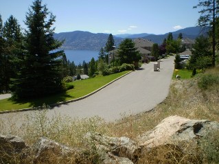
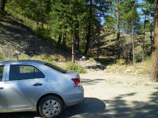
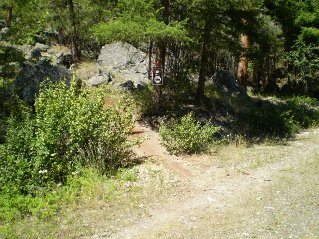
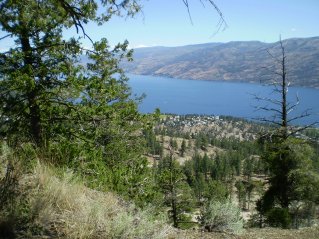
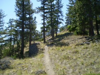
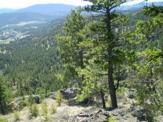
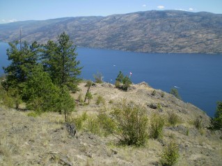
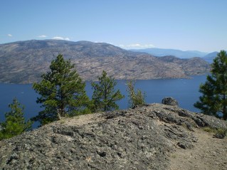
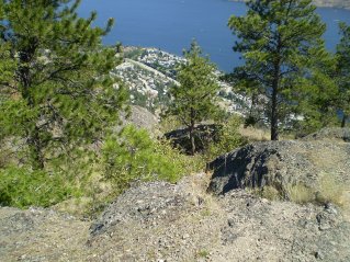
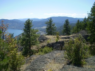
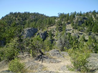
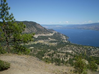
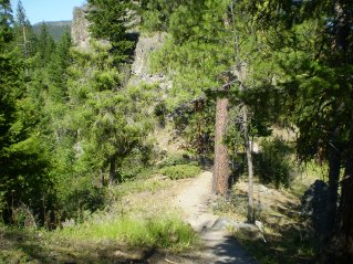
Directions: This hiking trail is located in Peachland at the end of Ponderosa Drive. From Penticton drive north on Highway 97 to Peachland and turn left onto Ponderosa Drive. Drive to the end of Ponderosa Drive. At the end of Ponderosa Drive there is an short gravel road that climbs up to a small parking area. This is the start of the marked trail to the top of Pincushion Mountain. The climb to the top provides very scenic views of Peachland and Okanagan Lake. At the top caution is required as there is a steep drop off into a canyon. The photos below show the route.

GPS Data: Right click on link to bring up menu to download (save) file.

Pincushion Mountain-Peachland, GPS GPX format-Zipped.   Pincushion Mountain-Peachland, GPS TXT format.

Pincushion Mountain 2011/08

Looking down from parking at end of Ponderosa Drive, Peachland, Pincushion Mtn 2011-08. Parking area and start of trail at end of Ponderosa Drive, Peachland, Pincushion Mtn 2011-08. Trail branches off an old road after a short distance, Pincushion Mtn 2011-08.
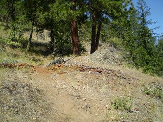
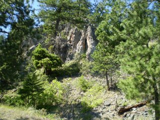
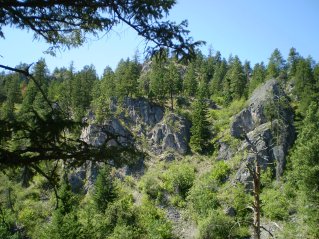
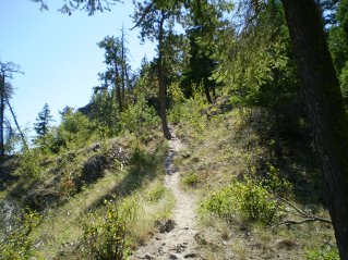
Trail rapidly climbs through meadows and trees, Pincushion Mtn 2011-08. Unusual rock formations, look like they had been under water in the past, Pincushion Mtn 2011-08. Partway up the trail looking down on Peachland, Pincushion Mtn 2011-08.
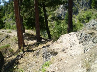
Trail turns and heads south, Pincushion Mtn 2011-08. Crossing a narrow ridge over a deep ravine, Pincushion Mtn 2011-08. Looking west across the ravine, Pincushion Mtn 2011-08.
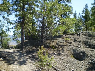
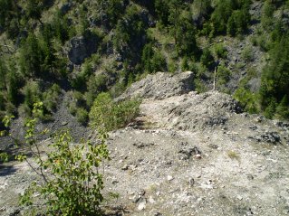
Heading south, a peak is visible in the distance, Pincushion Mtn 2011-08. On the final leg to the peak, Pincushion Mtn 2011-08. Looking down into a canyon on the west side of the peak, Pincushion Mtn 2011-08.
Looking south from the peak, Pincushion Mtn 2011-08. Looking east from the peak, Canadian flag has been planted at a view point, Pincushion Mtn 2011-08. Looking south east, results of Okanagan Fire can be seen, Pincushion Mtn 2011-08.
Looking north east down at part of Peachland, Pincushion Mtn 2011-08. Looking to the south east from the peak, Pincushion Mtn 2011-08. Looking west across the canyon from the peak, Pincushion Mtn 2011-08.
Looking north from the peak, Kelowna is visible in the distance, Pincushion Mtn 2011-08. Heading back down, on a narrow ridge section of the trail, Pincushion Mtn 2011-08.


Home Chilliwack  Hope Pemberton  Penticton, Squamish  Vancouver Whistler