Mountain Hiking Trails South Western and Okanagan regions British Columbia, Canada

Reserved for
future use


Home Chilliwack  Hope Pemberton  Penticton, Squamish  Vancouver Whistler

Penticton Mountain Trails- Mahoney Lake to Hawthorne Mountain

Mahoney Lake to Hawthorne Mountain: Elevation 914 meters (2991 feet)

Approximately 22 KM (13.7 miles) from Penticton, British Columbia. Hiking time round trip- 5.5 to 6 hrs allowing for stops. Round trip roughly 6.5 KM (4 miles), elevation gain-414M (1353 feet). Best time is usually June to September.

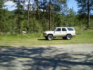
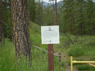
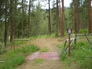
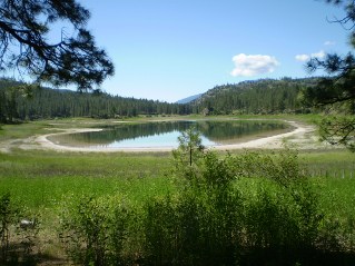
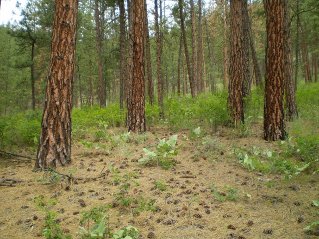
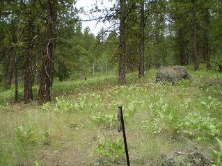
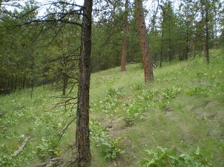
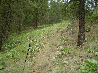
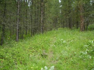
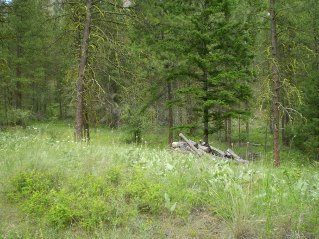
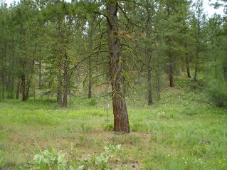
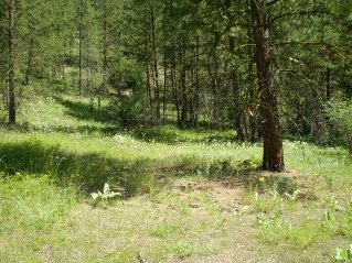
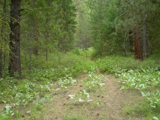
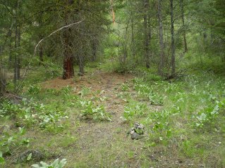
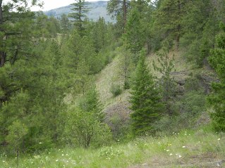
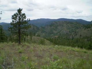
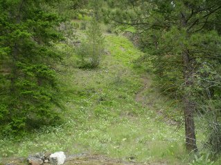
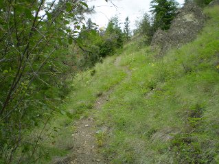
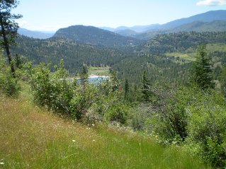
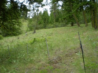
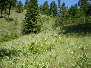
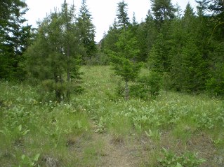
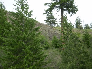
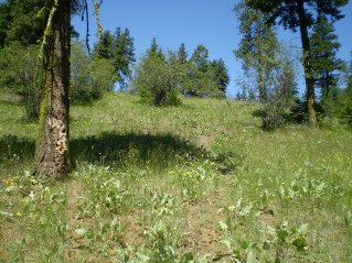
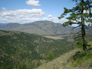
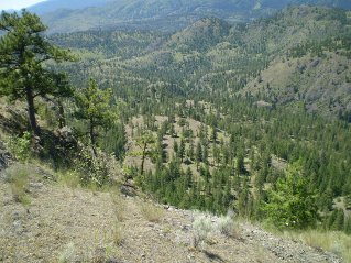
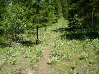
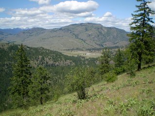
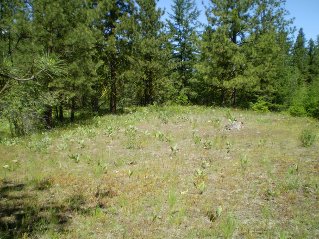
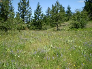
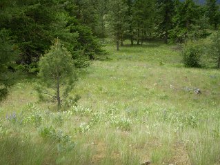
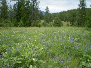
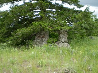
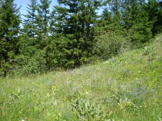
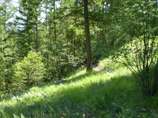
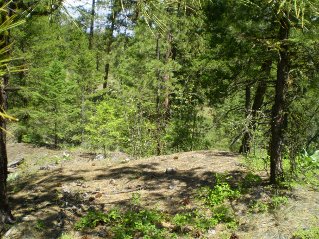
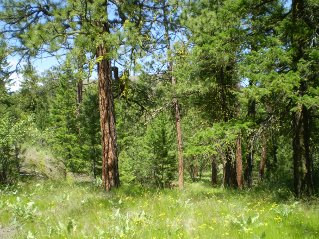
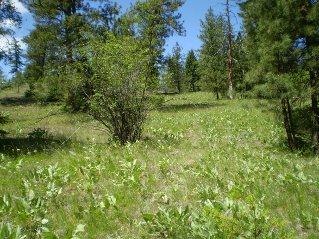
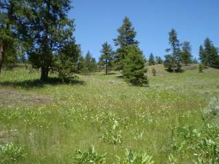
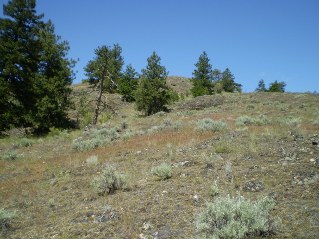
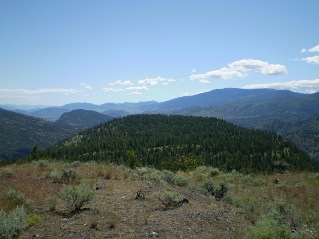
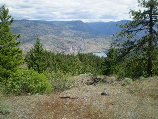
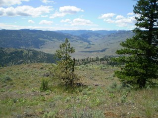
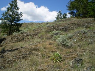
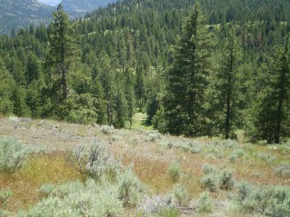
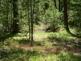
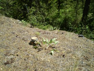
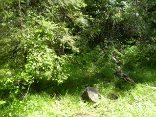
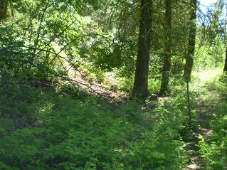
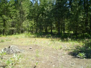
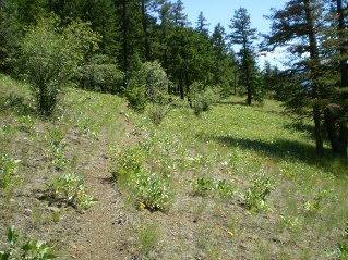
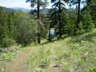
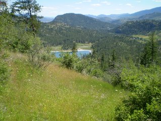
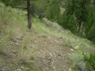
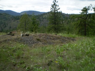
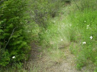
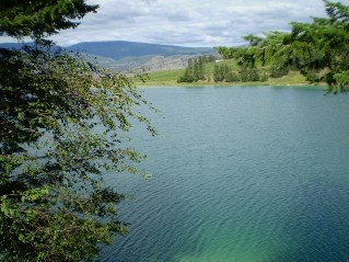
Directions: From Penticton drive 19.8 KM (12.3 miles) south on highway 97 to Okanagan Falls. Turn right just before the bridge going into Okanagan Falls onto Green Lake Road. Follow Green Lake Road for 7.5 KM (4.7 miles) past Green Lake to Mahoney Lake. There is a small area on the east side of Green Lake Road at the north end of Mahoney Lake where one can park. Do not block the fence gate. On the west side of the road there is an entry point through a metal gate that heads down towards the north end of Mahoney Lake. A trail that leads to Mount Hawthorne starts right after the cattle crossing and heads north west. This trail is very hard to follow and often disappears where it is overgrown or crosses meadows. The markers are a combination of ribbons and small stone piles with considerable distance between them. It can be just as difficult following the trail on the way back. Using a GPS and marking waypoints is recommended. It could be easy to get lost. The trail is very scenic starting with a good view of Mahoney Lake as one climbs heading north west. The trail comes out onto a long ridge providing views to the west of the White Lake Area and the Observatory. The trail heads north through a series of meadows and crosses several ravines. Eventually a high point can be seen which is reached through a series of meadows. The trail disappears in the meadows so one just locks in on the high point. Once at the high point (Mount Hawthorne) there is excellent views to the west of the Observatory and towards the east of various lakes. The photos below show the route.

GPS Data: Right click on link to bring up menu to download (save) file.

Mahoney Lake to Hawthorne Mountain, GPS GPX format-Zipped.   Mahoney Lake to Hawthorne Mountain, GPS TXT format.

Mahoney Lake to Hawthorne Mountain, 2011/06

Parking off Green Lake Road, near north end of Mahoney Lake, Mahoney Lake to Hawthorne Mountain, 2011-06. Gate and trail leading to north end of Mahoney Lake, Mahoney Lake to Hawthorne Mountain, 2011-06. Trail starts on right side after the cattle guard at the north end of Mahoney Lake, Mahoney Lake to Hawthorne Mountain, 2011-06.
View of Mahoney Lake from near the cattle guard, Mahoney Lake to Hawthorne Mountain, 2011-06. Faint trail heads northwest just after the cattleguard, Mahoney Lake to Hawthorne Mountain, 2011-06. Trail continues to climb going northwest, Mahoney Lake to Hawthorne Mountain, 2011-06.
Trail is found on far side of meadow heading northwest, Mahoney Lake to Hawthorne Mountain, 2011-06. Trail found on far side of meadow, Mahoney Lake to Hawthorne Mountain, 2011-06. Trail continues northwest overgrown at times, Mahoney Lake to Hawthorne Mountain, 2011-06.
Trail comes into a clearing with wood piles, Mahoney Lake to Hawthorne Mountain, 2011-06. Trail is found on north side of clearing with wood piles, Mahoney Lake to Hawthorne Mountain, 2011-06. North side of clearing, trail now heads east, Mahoney Lake to Hawthorne Mountain, 2011-06.
Trail now heads northeast, Mahoney Lake to Hawthorne Mountain, 2011-06. Small pile of stones mark where trail turns north and starts climbing, Mahoney Lake to Hawthorne Mountain, 2011-06. Climbing up the slope, deer watching from below, Mahoney Lake to Hawthorne Mountain, 2011-06.
Trail climbs up to a flat area, Mahoney Lake to Hawthorne Mountain, 2011-06 2011-06. Trail resumes climb from flat area, Mahoney Lake to Hawthorne Mountain, 2011-06. Some distance up the trail from the flat area, Mahoney Lake to Hawthorne Mountain, 2011-06.
Looking back at Mahoney Lake, Mahoney Lake to Hawthorne Mountain, 2011-06. Trail leads to a fence with a gap to slide under it, Mahoney Lake to Hawthorne Mountain, 2011-06. After fence trail is found ahead to the left by rock pile, Mahoney Lake to Hawthorne Mountain, 2011-06.
Trail continues to head north, Mahoney Lake to Hawthorne Mountain, 2011-06. Deer on a ridge above watching, Mahoney Lake to Hawthorne Mountain, 2011-06. Trail climbs through meadows to a long ridge, Mahoney Lake to Hawthorne Mountain, 2011-06.
View to the northwest from start of long ridge, Mahoney Lake to Hawthorne Mountain, 2011-06. View to the southwest from start of long ridge, Mahoney Lake to Hawthorne Mountain, 2011-06. Trail heads through a mix of meadows and forest along the ridge, Mahoney Lake to Hawthorne Mountain, 2011-06.
View from further along the ridge of the White Lake Observatory, Mahoney Lake to Hawthorne Mountain, 2011-06. Trail disappeared, found on other side of clearing, Mahoney Lake to Hawthorne Mountain, 2011-06. A short distance later trail disappears into large meadows, Mahoney Lake to Hawthorne Mountain, 2011-06.
Looking back at where trail came out into large meadows, Mahoney Lake to Hawthorne Mountain, 2011-06. Looking east at the large meadows, Mahoney Lake to Hawthorne Mountain, 2011-06. An unusual rock formation found a short distance northeast in the meadows, Mahoney Lake to Hawthorne Mountain, 2011-06.
Trail is found on far side almost straight north from where trail came into the large meadows, Mahoney Lake to Hawthorne Mountain, 2011-06. On far side of the large meadow trail can be seen again, Mahoney Lake to Hawthorne Mountain, 2011-06. Trail is hard to follow through some ravines, Mahoney Lake to Hawthorne Mountain, 2011-06.
Trail comes out of the ravines heading for a high point in the distance, Mahoney Lake to Hawthorne Mountain, 2011-06. Trail climbs through meadows towards the high point, Mahoney Lake to Hawthorne Mountain, 2011-06. Trail disappears into large grassy meadows, Mahoney Lake to Hawthorne Mountain, 2011-06.
Climbing up to the top of the high point, Mahoney Lake to Hawthorne Mountain, 2011-06. Looking south at the route back from a high point on Mt Hawthorne. Mahoney Lake is on other side of the mountain in the foreground, Mahoney Lake to Hawthorne Mountain, 2011-06. Looking southeast towards Vaseux Lake, Mahoney Lake to Hawthorne Mountain, 2011-06.
Looking west towards White Lake Observatory, Mahoney Lake to Hawthorne Mountain, 2011-06. Returning, looking back at the descent from Mt Hawthorne, Mahoney Lake to Hawthorne Mountain, 2011-06. Returning, coming down the slope from Mt Hawthorne. Using fallen tree to line up with trail on far side of meadows, Mahoney Lake to Hawthorne Mountain, 2011-06.
Returning, back at where trail came out onto meadows, Mahoney Lake to Hawthorne Mountain, 2011-06. Returning, following trail back through ravines, Mahoney Lake to Hawthorne Mountain, 2011-06. Returning, small pile of rocks marks where trail drops down from a ridge into a ravine, Mahoney Lake to Hawthorne Mountain, 2011-06.
Returning, rock marks where trail leaves a ravine, easy to miss, Mahoney Lake to Hawthorne Mountain, 2011-06. Returning, exiting the ravines, trail to the left returns to the large meadow, Mahoney Lake to Hawthorne Mountain, 2011-06. Returning, trail is found on other side of clearing, Mahoney Lake to Hawthorne Mountain, 2011-06.
Returning, now back on long ridge heading south, Mahoney Lake to Hawthorne Mountain, 2011-06. Returning, heading down from long ridge, Mahoney Lake in the distance, Mahoney Lake to Hawthorne Mountain, 2011-06. Returning, another view of Mahoney Lake from further down the slope, Mahoney Lake to Hawthorne Mountain, 2011-06.
Returning, steep trail heading down the slope back to flat area, Mahoney Lake to Hawthorne Mountain, 2011-06. Returning, trail is found on west side of flat area, Mahoney Lake to Hawthorne Mountain, 2011-06. Returning, trail continues on west side of flat area, Mahoney Lake to Hawthorne Mountain, 2011-06.
Driving back on Green Lake Road, view of Green Lake, Mahoney Lake to Hawthorne Mountain, 2011-06.


Home Chilliwack  Hope Pemberton  Penticton, Squamish  Vancouver Whistler